


MURRAY – On April 7, the National Weather Service Paducah Office confirmed the 13th and 14th tornados from the severe weather that came through the area April 2-5, both of which were in Calloway County. One was part of the tornado outbreak on April 2, but the other came the following evening, when there were no tornado warnings in the county.
According to Paducah NWS’s official report, the “Bell City/Murray” tornado had an estimated peak wind speed 100 mph, rating it an EF-1 on the Enhanced Fujita scale, and reached a maximum width of 200 yards.
The tornado originally touched down at 9:17 p.m. in north Weakley County, Tennessee, and ultimately, traveled 17.49 before lifting, according to NWS. It briefly moved through Graves County, destroying a garage and uprooting near the intersection KY 97 and Edgehill Trail/KY 1270 before entering Calloway County.
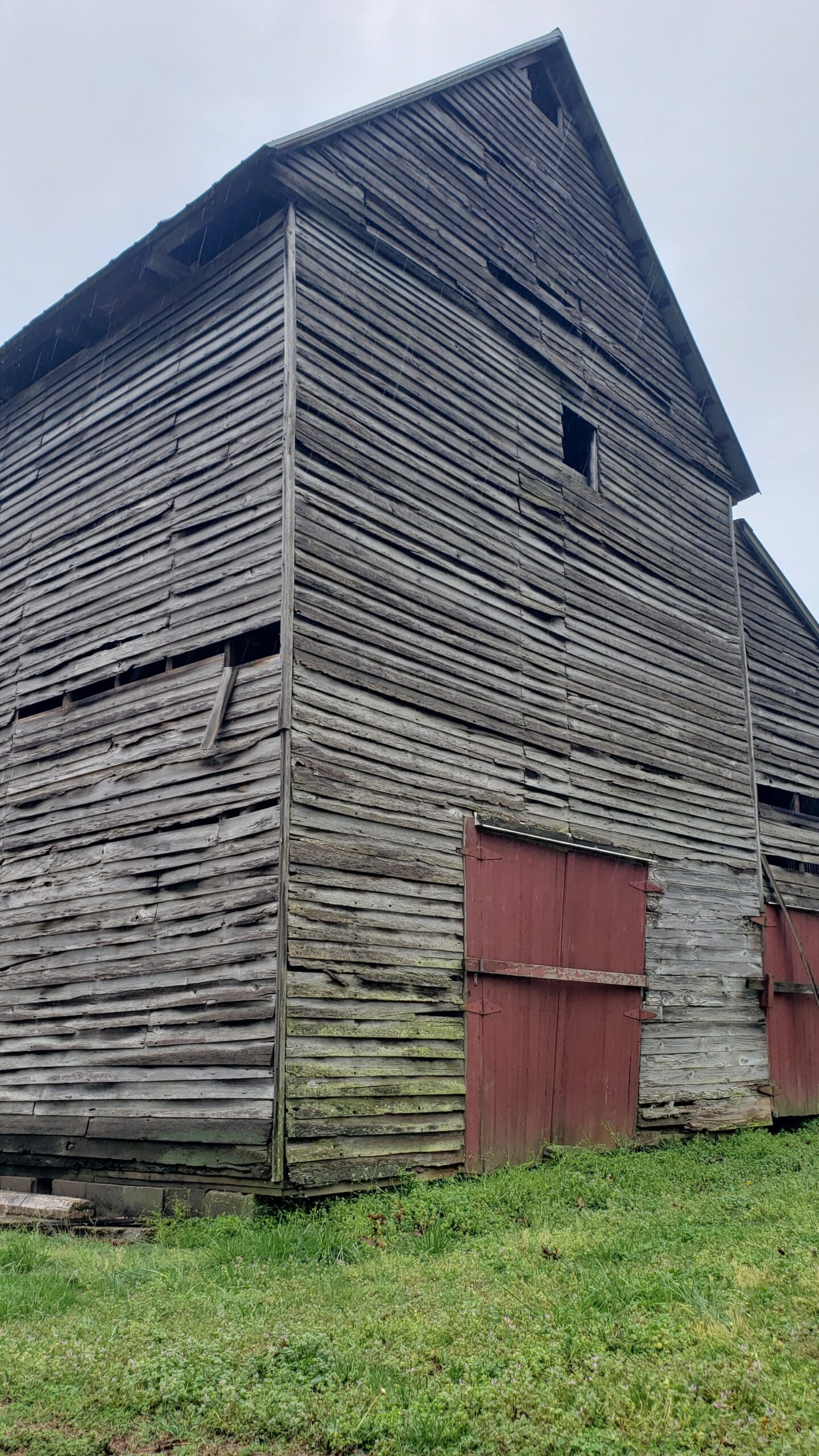
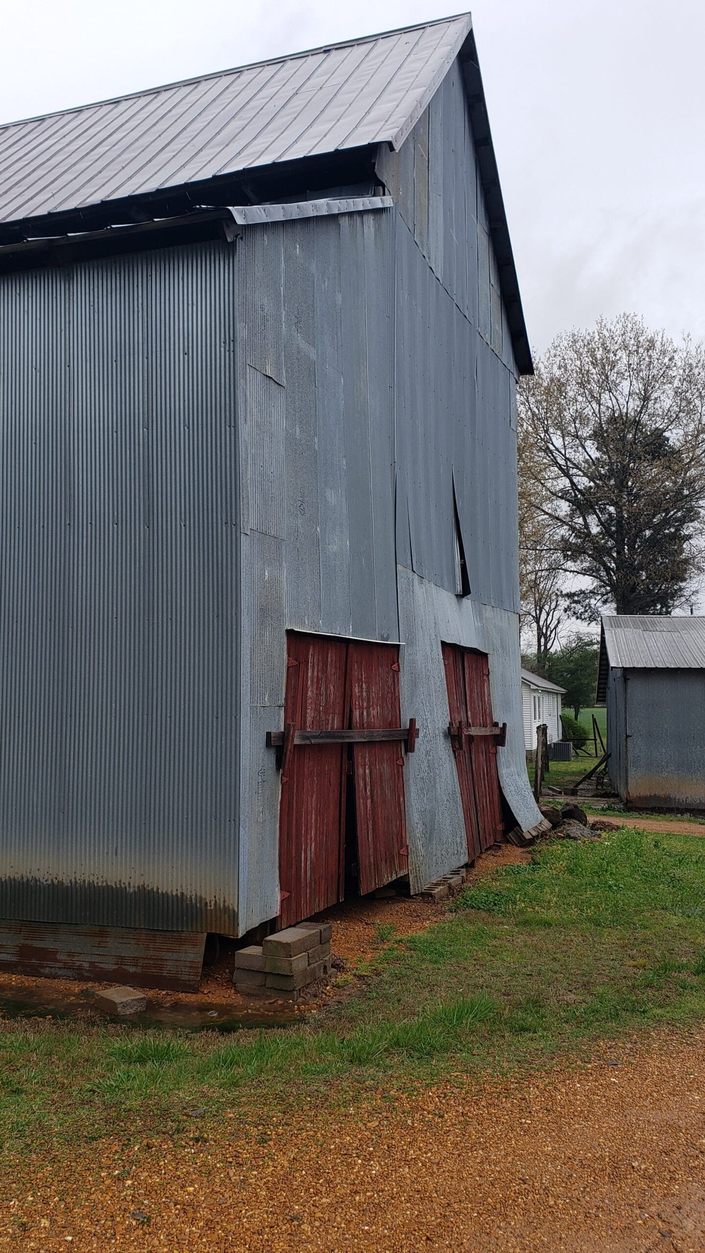
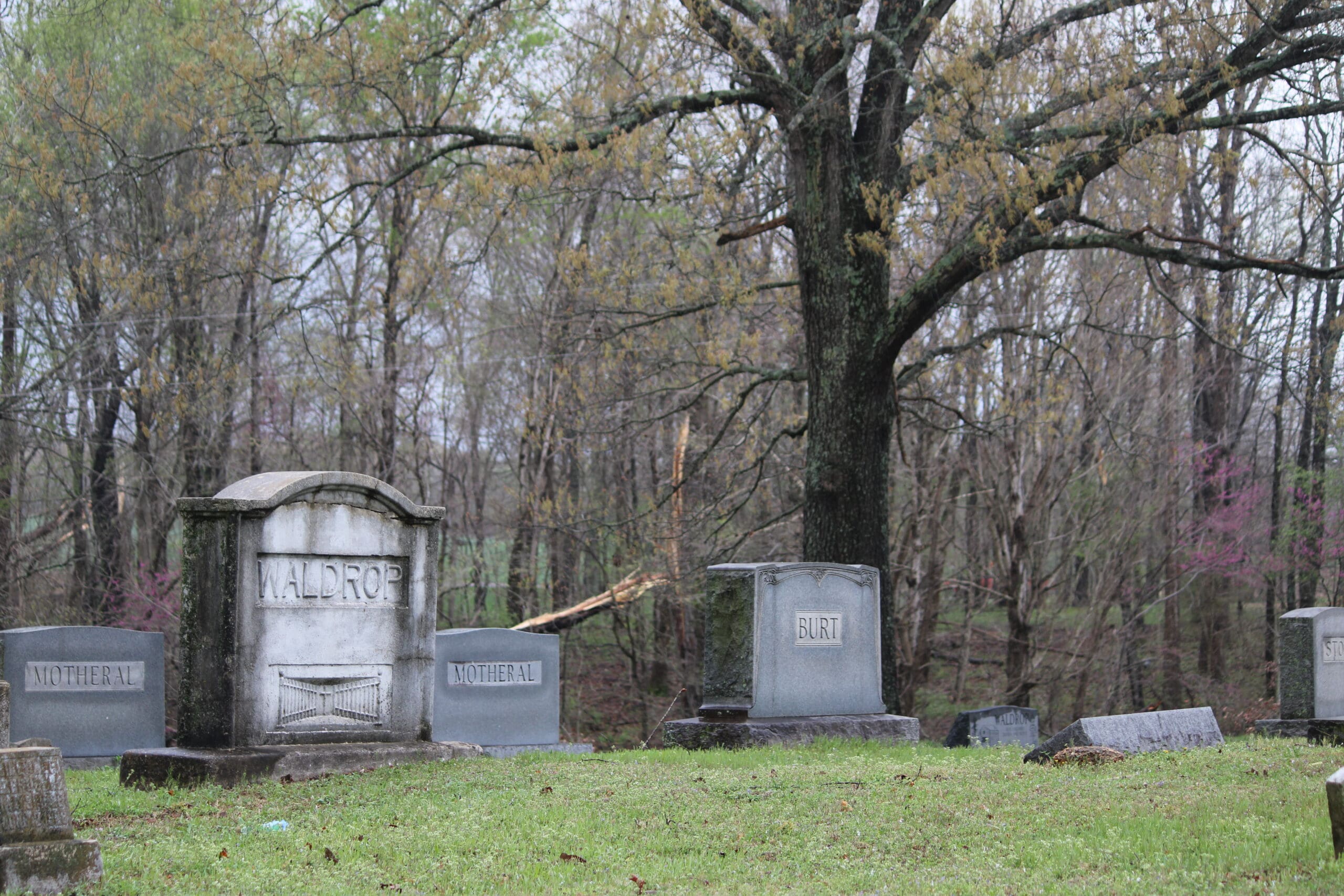
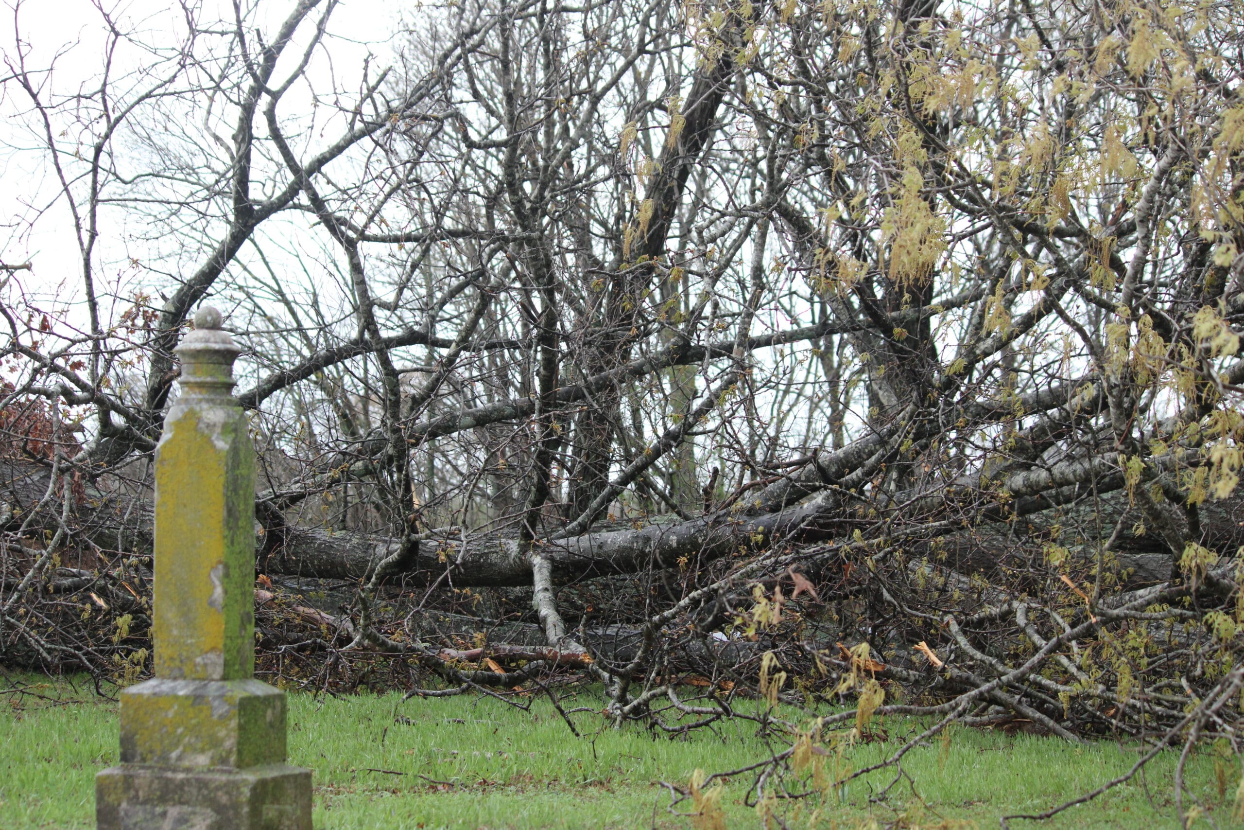
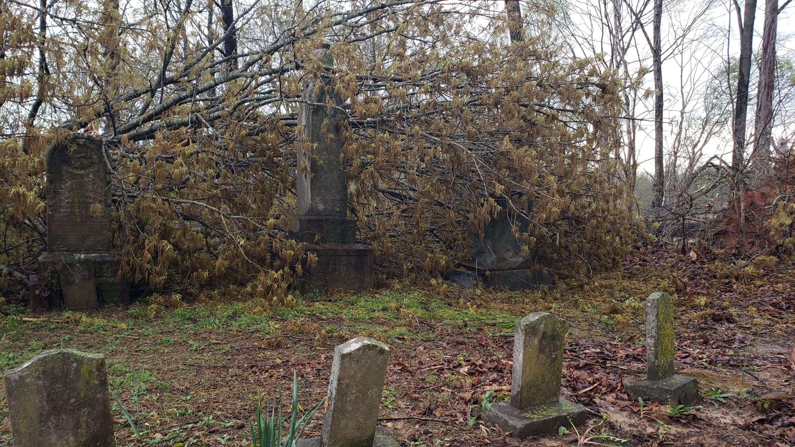
It damaged several barns, countless trees and at least two center-pivot irrigation systems as it traveled along Edgehill Trail, Dublin Drive, Rayburn Road and Humphrey Road. There were also reports of damaged trees on Wiswell Road, near Oaks Country Club Road, and Robertson Road South.


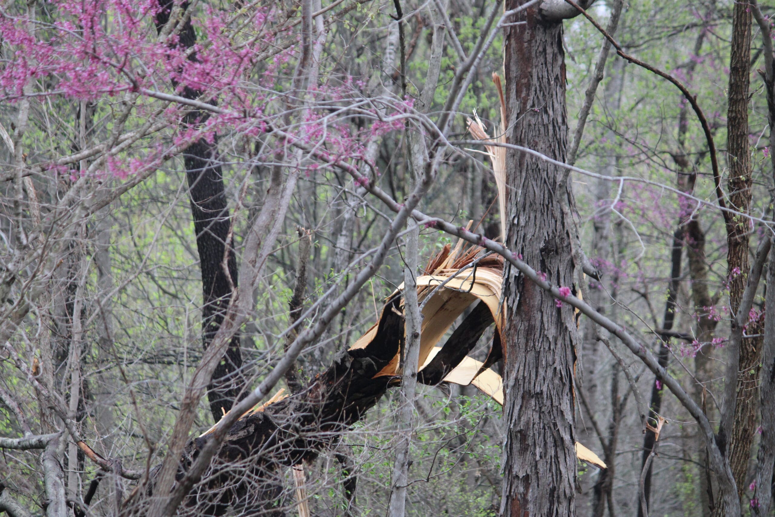


“From what I found mostly, right around the Graves County line on 1270, I think is where it might have touched down,” Calloway County Emergency Management Director Josh Kerr told The Sentinel. “It kind of looks like it almost hopscotched – so, it would go down for a while, up, down – which would make sense because when it got to Murray it kind of went back up, thankfully.”
But all areas of town were not unscathed. NWS cited damage around Glendale Road and at the intersection of 4th and Sycamore streets.

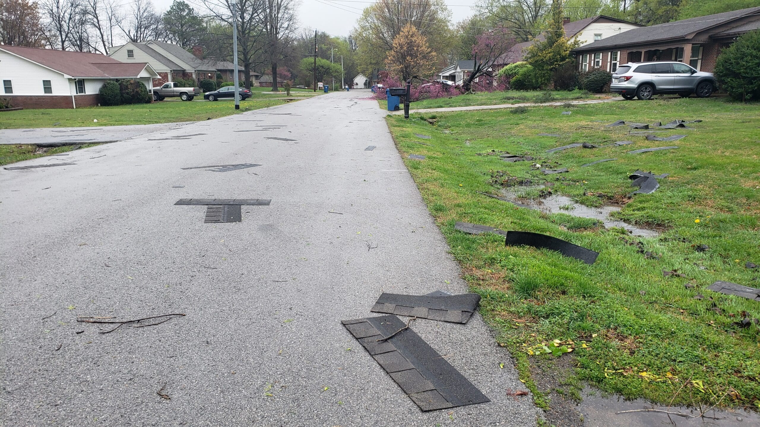


“The tornado then moved into the southwest and south sides of the city of Murray, where it uprooted a few trees and damaged the gutters and shingles on a few homes,” the NWS report stated. “Near the intersection of Fourth Street and Sycamore, the tornado lifted the roof off of automobile repair shop and then lifted shortly thereafter.”
The same night, an EF-2 tornado plowed through Ballard and McCracken counties. At 1000 yards wide, it was the widest tornado reported by Paducah NWS that night.
Although storms continued to dump rain across the area, Calloway County did not have any tornado warnings the next night; nonetheless, an EF-0 tornado touched down east of town at 10:23 p.m., on KY 94 E and traveled nearly nine miles, roughly following Pottertown Road/KY 280, before ending west of New Concord eight minutes later.
“An EF-0 tornado began east of Murray along Highway 94, where it damaged the roof of a commercial building and a nearby church,” the NWS report stated. “The tornado continued eastward along Pottertown Road and through the Pottertown community, where it damaged a couple outbuildings and uprooted a few trees in wet soil. The tornado also downed several large tree limbs. The tornado ended near the shoreline of Kentucky Lake in eastern Calloway County.”